Free continents and oceans worksheet generator: label the continents and oceans, blank world map, color the continents, which continent for countries, a test and a quiz, with answer keys.
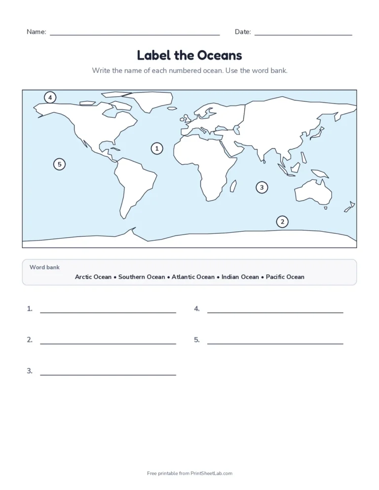
Free continents and oceans worksheets for kindergarten to 5th grade. Label the 7 continents and 5 oceans on a numbered world map, write the names on a blank map, color the continents with a key, place countries on the right continent, and finish with a quiz. Every printable comes with an answer key, and the generator builds a fresh version whenever you need one. Each continents and oceans map names the 7 continents and 5 oceans in a word bank, or leaves them blank for a test.
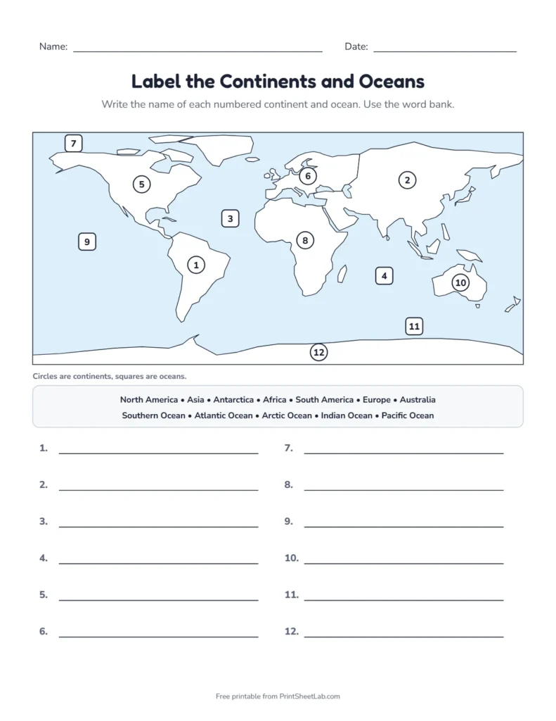
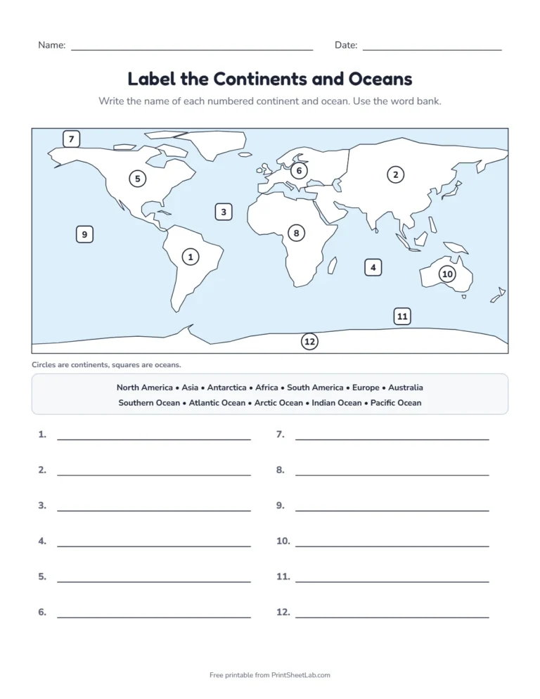
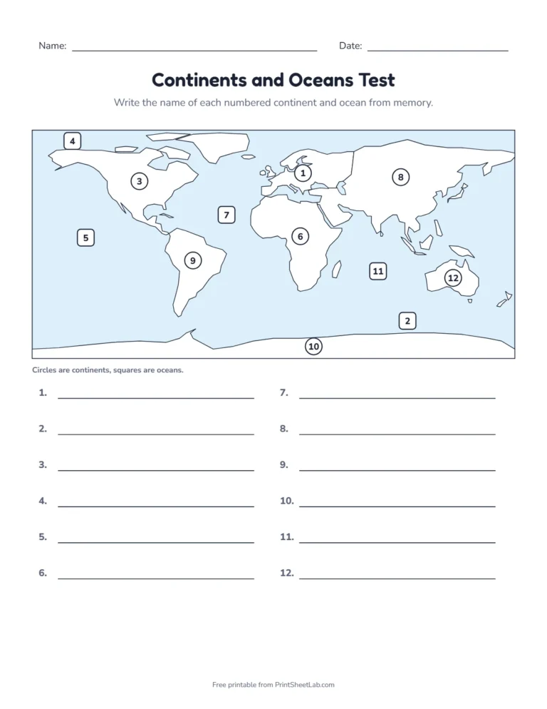
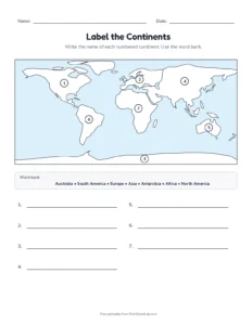
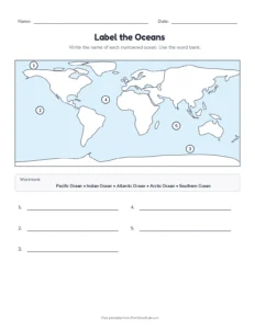
Label the continents and oceans: circles mark the continents, squares mark the oceans, and the answer key is on page two.
In short: the 7 continents are Asia, Africa, North America, South America, Antarctica, Europe and Australia, and the 5 oceans are the Pacific, Atlantic, Indian, Southern and Arctic. These continents and oceans worksheets practise them in eight ways, from coloring for little ones to a test with no word bank for 4th and 5th graders. All are free PDFs with answers.
Play: find it on the map
Read the name, then tap that continent or ocean on the world map. How long a streak can you build?
Continents and oceans worksheets PDF
Download a ready-made continents and oceans worksheet PDF, or press Customize to open it in the generator and get a new numbering or a new set of questions.
Continents and oceans map worksheets
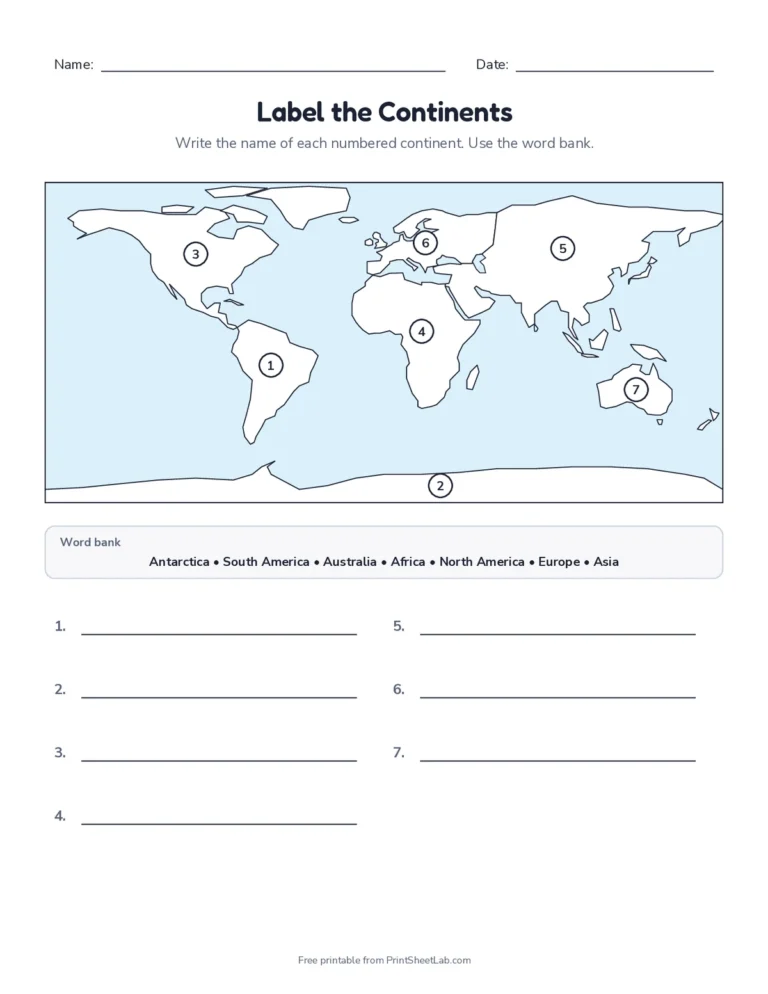
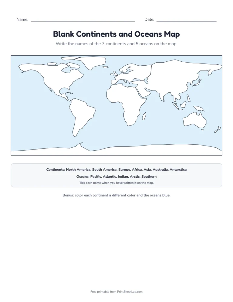
Label the continents and oceansNumbered world map with a word bank + key.PDFCustomizeLabel the continentsSeven continents with a word bank + key.PDFCustomizeLabel the oceansFive oceans with a word bank + key.PDFCustomizeBlank continents and oceans mapWrite the names straight on the map + key.PDFCustomizeContinents and oceans testNo word bank, for older pupils + key.PDFCustomize
Coloring, countries and a continents and oceans quiz
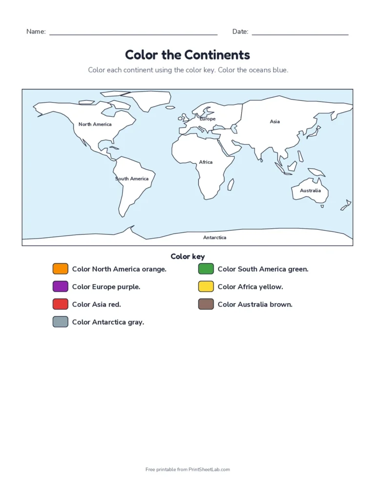
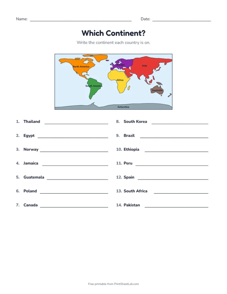
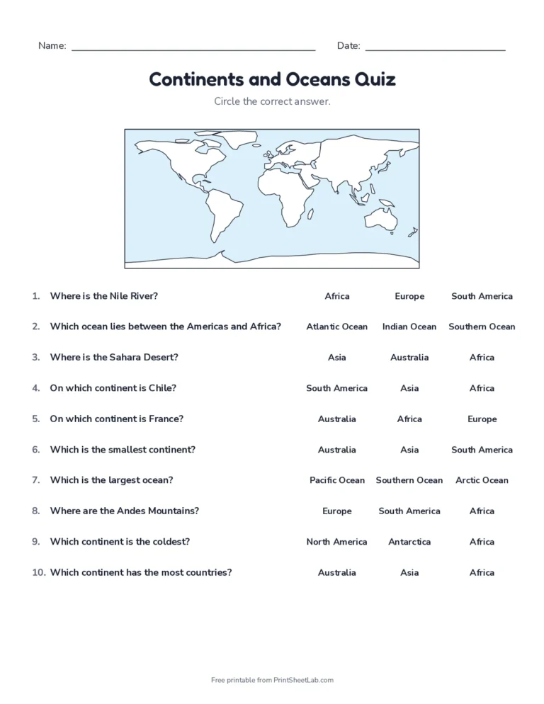
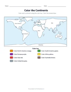
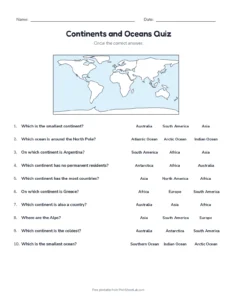
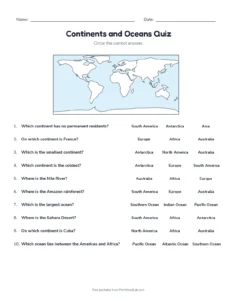
Color the continentsColor key for every continent + key.PDFCustomizeWhich continent?14 countries to place + key.PDFCustomizeContinents and oceans quiz10 questions + answer key.PDFCustomize
The 7 continents and 5 oceans, in order of size
Continents (largest to smallest)
Countries
Oceans (largest to smallest)
1. Asia
about 48
1. Pacific Ocean
2. Africa
54
2. Atlantic Ocean
3. North America
23
3. Indian Ocean
4. South America
12
4. Southern Ocean
5. Antarctica
none
5. Arctic Ocean
6. Europe
about 44
7. Australia (Oceania)
14 in Oceania
Country counts use UN member states. Asia and Europe are given as “about” because a few countries, such as Russia and Turkey, sit on both. Some countries also teach a different number of continents, for example joining Europe and Asia as Eurasia or North and South America as one America. These worksheets use the seven-continent model taught in most US, UK and Australian schools, and the Southern Ocean, which National Geographic began showing on its maps in 2021 (NOAA explains how many oceans there are).
Continents and oceans for kids: one fact each
The continents
Asia is the biggest continent and has the most people. Mount Everest is here.
Africa has the most countries and the Sahara, the largest hot desert.
North America stretches from Canada through the United States and Mexico to the Caribbean islands.
South America is home to the Amazon rainforest and the Andes mountains.
Antarctica is the coldest place on Earth and has no permanent residents, only visiting scientists.
Europe is small but packed with countries, from Norway to Greece.
Australia is the smallest continent and the only one that is also a single country.
The oceans
The Pacific is the largest and deepest ocean. It is bigger than all the land on Earth put together.
The Atlantic lies between the Americas on one side and Europe and Africa on the other.
The Indian Ocean is the warmest ocean, between Africa, Asia and Australia.
The Southern Ocean circles Antarctica.
The Arctic is the smallest and shallowest ocean, around the North Pole, and much of it is covered in sea ice.
Tricks to remember the continents and oceans
Continents by size: “Ants And Nine Snails Ate Eight Apples” gives Asia, Africa, North America, South America, Antarctica, Europe, Australia.
Use the test and quiz as quick questions and answers before a geography test
The map is a simplified drawing made for young learners, so small islands are left out and coastlines are smoothed.
Frequently asked questions
10 quick answers
Which continents and oceans worksheets come first?
Start with the labeled map and word bank, then the blank continents and oceans map, and finish with the quiz. Most children learn all twelve names in a week of short practice.
What is the best way to remember the 7 continents and 5 oceans?
Color each continent a different color and say the names aloud while you work. Our continents and oceans worksheets repeat the same map, so the shapes become familiar.
How many continents and oceans are there?
Schools usually count 7 continents (Asia, Africa, North America, South America, Antarctica, Europe and Australia) and 5 oceans (Pacific, Atlantic, Indian, Southern and Arctic).
Which is the largest continent and the largest ocean?
Asia is the largest continent and the Pacific is the largest ocean. The smallest are Australia and the Arctic Ocean.
Is Australia a continent or a country?
Both. Australia is a country, and it is also the main land of a continent. Some books call the wider region, with New Zealand and the Pacific islands, Oceania.
Why do some people say there are 6 continents?
Some countries count Europe and Asia as one continent, Eurasia, or count North and South America as one. The land is the same; only the way it is grouped changes.
Is there a blank continents and oceans map?
Yes. The blank continents and oceans map has no numbers, so children write each name straight onto the map, with a tick list underneath. Its answer key shows every label in red.
Can kids play a continents and oceans quiz online?
Yes. Use the find-it-on-the-map game at the top of this page, then print the continents and oceans quiz for a paper version.
Do the worksheets have answer keys?
Yes. Every sheet is followed by an answer key page, with the names written in red and the continents colored in.
Are these worksheets free?
Yes. Print them for your class or your kitchen table without signing up.