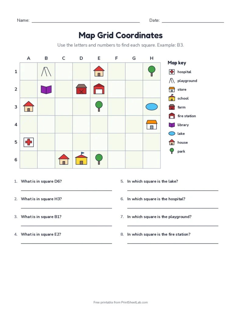
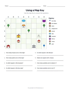
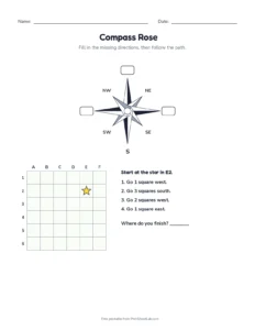
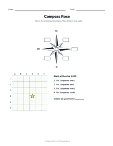
Free map skills worksheets for 1st to 4th grade. Every sheet has a new little town on a grid, so children practice grid coordinates (B4), cardinal directions (north, south, east and west), reading a map key, labeling a compass rose and measuring distance with a map scale, then follow directions along a path. Answer keys included. Highlights include a cardinal directions worksheet for beginners and a map scale worksheet for older students.
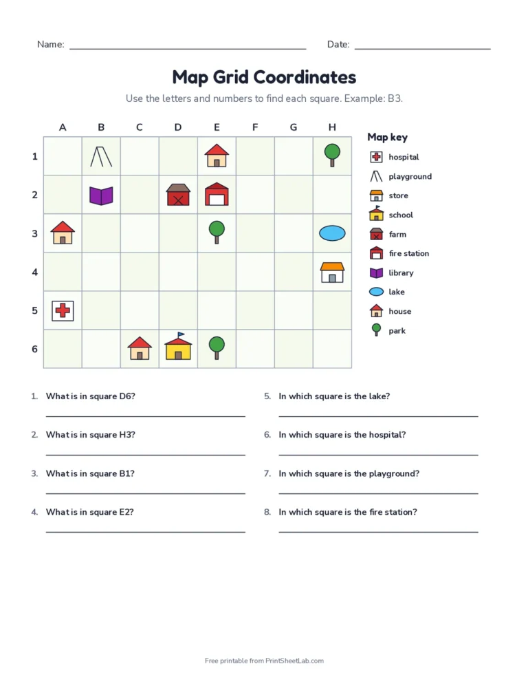
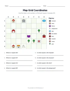
A “map grid coordinates” worksheet from the generator above.
Play: tap the square
Read the clue, then tap the right square on the town map. Letters go across and numbers go down.
Ready-to-print map skills worksheets (PDF)
Open any set as a PDF, or press Customize for a brand-new town map.
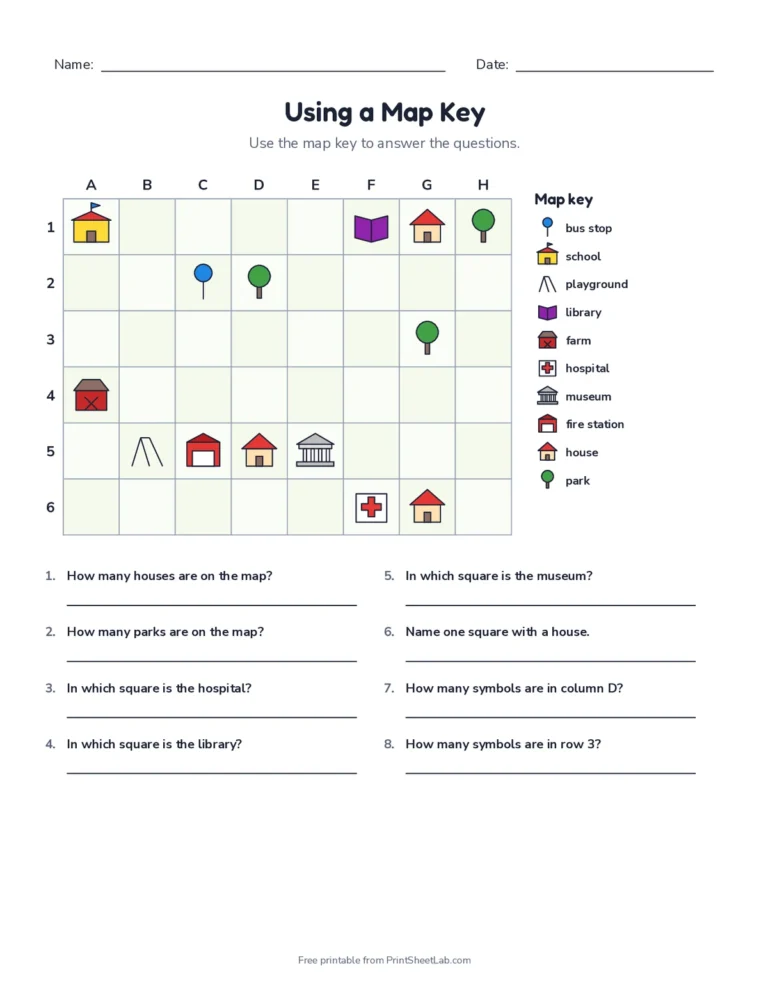
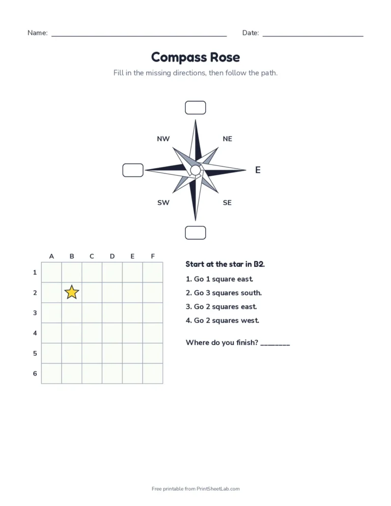
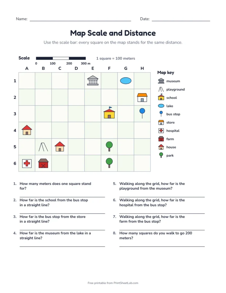
Map grid coordinatesTown map with a map key + answer key.PDFCustomizeCardinal directionsTown map with a compass rose + answer key.PDFCustomizeUsing a map keySymbols and counting + answer key.PDFCustomizeCompass rose and pathLabel and follow directions + answer key.PDFCustomizeMap scale and distanceScale bar and distances + answer key.PDFCustomize
Use the scale bar to find straight-line and walking distances in meters.
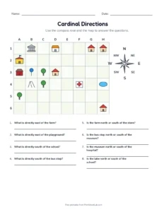
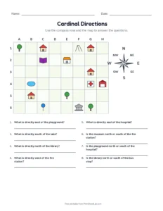
Choose 4 directions (N, E, S, W) for beginners or 8 directions to add NE, SE, SW and NW.
The parts of a map
Before children answer questions about a map, it helps to name the tools every map gives them. Point to each one on a printed town map:
Title: tells you what the map shows, such as “Maple Street Town” or “Our Classroom”.
Compass rose: shows north, east, south and west. Most maps put north at the top. The compass rose on old sea charts was drawn with up to 32 points.
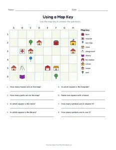
Map key (legend): explains what each symbol means, so a small tree can stand for a park and a red cross for a hospital.
Scale: tells you how far a distance on the map is in real life.
Grid: letters across the top and numbers down the side split the map into squares, so any place can be found with a coordinate like C4.
How to use a map scale
A map is much smaller than the place it shows, so mapmakers use a scale to link the two. On our town maps the scale bar says how many meters one square stands for. To find a distance:
Count the squares between the two places, from the middle of one square to the middle of the other.
Multiply by the number on the scale. If one square is 50 meters and the library is 4 squares from the school, the library is 200 meters away.
If you cannot go in a straight line, count the squares across and then the squares up or down, and add them. That is the walking distance along the streets.
The new map scale and distance worksheet mixes straight-line and walking distances, with a scale that changes between 10, 20, 50 and 100 meters per square, so no two sheets are the same.
Map skills by grade
Kindergarten and 1st grade: left, right, near and far, then a simple map of the classroom or bedroom with a picture key.
2nd grade: the four cardinal directions and reading a map key. Start with the cardinal directions and map key sheets.
3rd grade: grid coordinates, the eight compass points and following written directions along a path.
4th grade: map scale, measuring distance, and the step up to latitude and longitude, which work just like a grid. The coordinate plane printables build the same skill with numbers.
Tips for teaching map skills
Never Eat Soggy Waffles is a classic way to remember north, east, south and west, going clockwise.
For coordinates, say “along the corridor, then up (or down) the stairs”: letter first, then number.
Make it real: draw a map of your classroom or bedroom with a key, then use the same questions.
Frequently asked questions
8 quick answers
What is on the cardinal directions worksheet?
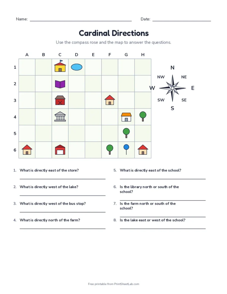
A town map with a compass rose and questions such as “What is directly north of the school?”. Like all our map skills worksheets, it has an answer key.
What grade is the map scale worksheet for?
Usually 3rd and 4th grade. Students count squares and multiply by the scale. It is the most advanced of these map skills worksheets.
What are cardinal directions?
The four main directions: north, east, south and west. The in-between directions (northeast, southeast, southwest and northwest) are called intermediate directions.
Why does each sheet have a different town?
The map is built fresh every time, with all answers worked out from that exact map, so you can print as many different practice sheets as you need.
What are the parts of a map?
Most maps have a title, a compass rose, a map key (also called a legend), a scale and often a grid. Each part helps you read the map in a different way.
What is a map scale?
A map scale shows how a distance on the map matches a distance in real life. On our worksheets, one square on the map stands for a set number of meters.
What grade learns map skills?
Children start with simple maps in kindergarten and 1st grade, learn cardinal directions and map keys in 2nd grade, and use grids, scale and the eight compass points in 3rd and 4th grade.
Are the worksheets free?
Yes. All map skills pages are free to print for your family or your whole class.